Environment | Research
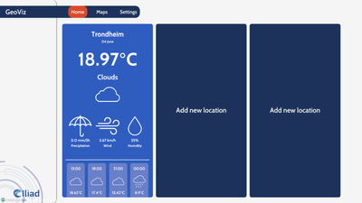
GeoViz
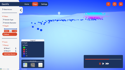
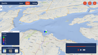
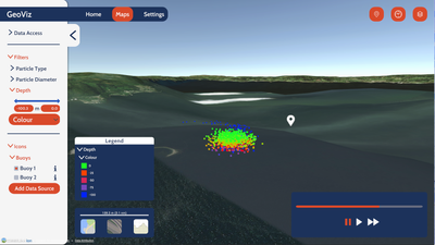
Within the scope and applications ecosystem of ILIAD, we allow the representation of particles in water in 2D and 3D, with the possibility of controlling the flow of time of the visualisation. By providing the propagation data of your particles (we currently adhere to NetCDF files output of OpenDrift, providing Latitude, Longitude, Depth, Diameter, and Categorization of the particles in time-series), you will be able to visualise the simulation of your particles and control the time flow.
The GeoViz application has been developed using the Unity game engine.
The global visualisation is provided using the Cesium Ion plugin for Unity.
More details about the resolution of the bathymetrical visualisation.
Parsing information from NetCDF to C# data structures is possible through the use of the Microsoft Scientific DataSet library for .NET.
The primary scope of the application was to provide visualisation for an Iliad's pilot owning microparticles' data as time-series, but at release, the codebase will be made available to the public, allowing anyone to clone the GitHub repository and develop their own parser fitting their data.
The use of the codebase of the application will be regulated by the license available in the repository.
In case your dataset does not work as-is with the GeoViz (you load the dataset file into GeoViz but see no particles), then you should validate your dataset with the GeoViz Data Tool, made publicly available here.
Additional Details
Type: Desktop Application
Theme: Environment, Research, Maps, Physics, Iliad: Visualisation & Interactions
Iliad Project Component
Dataset sources: Cesium for Unity
Language(s): English
Contact Information:
Dr. Xavier Fonseca
Senior R&D Programme Manager
Breda University of applied sciences
Screenshots
Feedback
Have you used this product? Please provide feedback to help product owners improve the quality of their products.